Chao Phraya River: A Short History of Bangkok's Lifeline
Discover the history of the Chao Phraya River, the waterway that shaped Bangkok's growth, trade, and culture, and remains the heart of the city today.
Chao Phraya River: A Short History of Bangkok's Lifeline
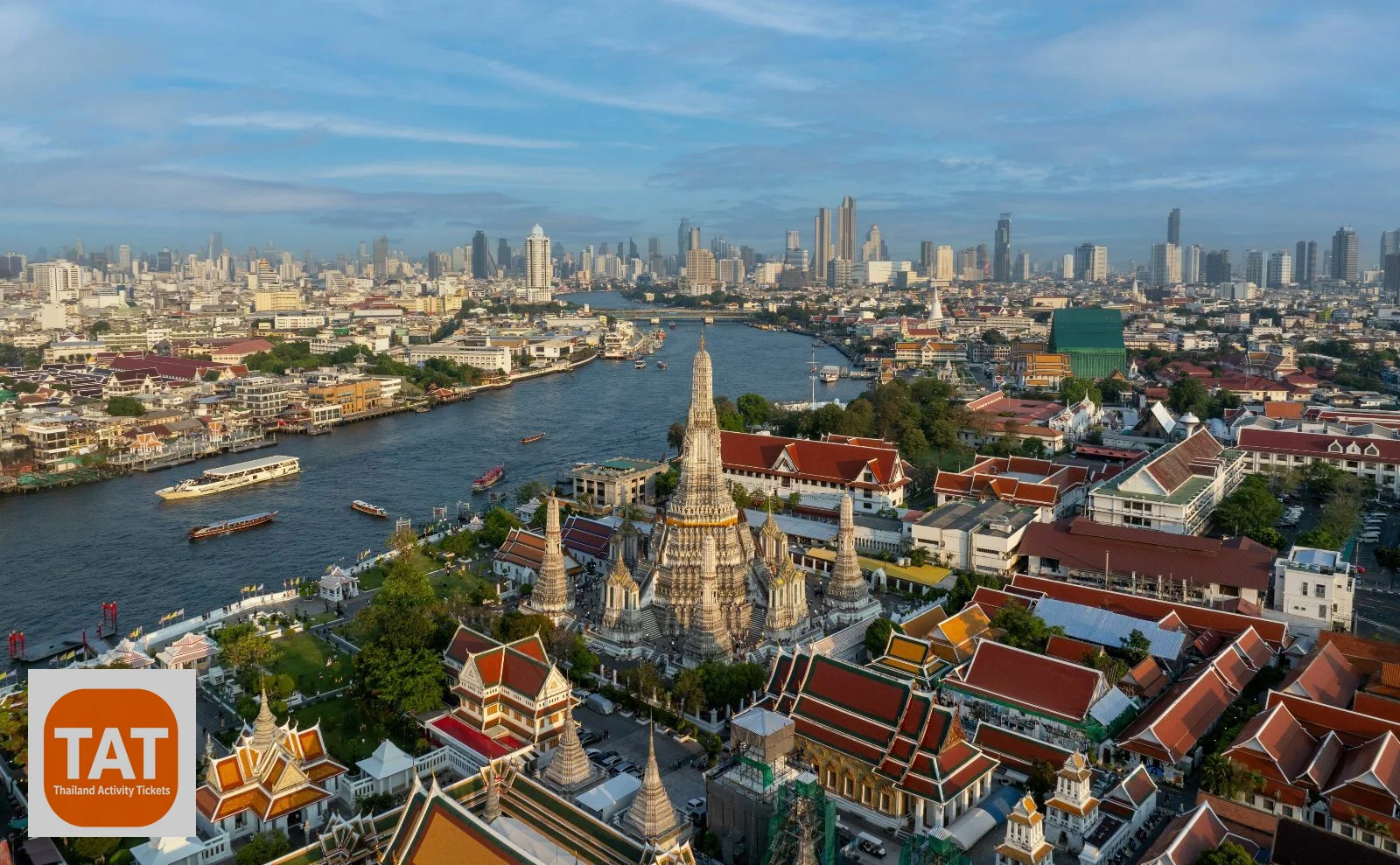
Long before Bangkok had skyscrapers, BTS lines, or expressways, it had the river. The Chao Phraya isn't just scenery running through the city — it's the reason the city exists where it does, and it's shaped nearly every stage of Bangkok's growth since the capital was founded on its banks.
Where the Chao Phraya Begins
The Chao Phraya forms in central Thailand at the confluence of four major rivers — the Ping, Wang, Yom, and Nan — near the city of Nakhon Sawan. From there, it flows roughly 372 kilometers south through the country's central plains before emptying into the Gulf of Thailand, passing directly through the heart of Bangkok along the way.
The River That Built a Capital
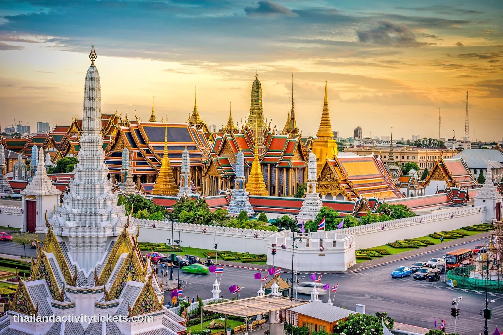
When King Rama I moved the capital across the river from Thonburi to establish Bangkok in 1782, the decision was deeply tied to the Chao Phraya. Rivers offered natural defense, reliable transportation, and access to fertile land for agriculture — all critical advantages for a new capital. Bangkok's earliest layout, including the Grand Palace and the surrounding royal district, was built facing the river rather than away from it, treating the waterway as the city's main thoroughfare rather than its edge.
Life on the Water: Bangkok's Original Transportation Network
For much of Bangkok's early history, the Chao Phraya and its network of connecting canals — called khlongs — functioned as the city's primary road system. Goods, produce, and passengers moved by boat long before paved roads existed, and Bangkok earned the nickname "Venice of the East" from visiting traders and diplomats who found the city organized almost entirely around waterways.
Many of these canals have since been filled in and paved over as Bangkok modernized and expanded its road network through the 20th century, but the Chao Phraya itself remained the one waterway too vital to lose, still carrying commercial barges, commuter boats, and tourist vessels today.
Trade, Rice, and the River's Economic Role
The Chao Phraya's river delta became one of the most productive rice-growing regions in Southeast Asia, and the river itself served as the export route that connected Thailand's agricultural interior to international trade through the Gulf of Thailand. This role as a trade artery helped establish Bangkok as a major regional port city well before it became the tourism and business hub it is today.
The River's Landmarks
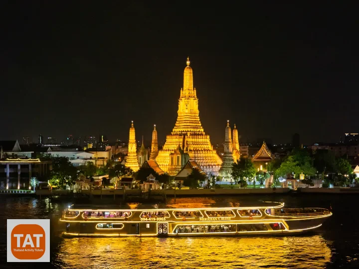
Nearly every major historical landmark in old Bangkok sits along or near the Chao Phraya, largely because the river was the city's original front door. The Grand Palace, Wat Arun, Wat Pho, and Wat Kalayanamit were all built facing or near the water, designed to be seen from the river as much as from land. Later additions like Rama VIII Bridge and modern riverside developments have continued that tradition of building toward the water rather than away from it.
The River Today
Modern Bangkok has grown well beyond the Chao Phraya's banks, but the river remains central to how the city moves and how it's experienced by visitors. Commuter ferries still run daily routes, express boats connect riverside neighborhoods faster than roads often can, and evening cruises have become one of the most popular ways for travelers to see the city's illuminated landmarks — including Wat Arun, the Grand Palace, and the Rama VIII Bridge — from the water where they were originally meant to be seen.
If you want to experience that view yourself, an evening cruise along the river remains one of the most direct ways to connect with the history covered here — the Meridian Dinner Cruise from Iconsiam follows a route past many of these same historic landmarks after dark.
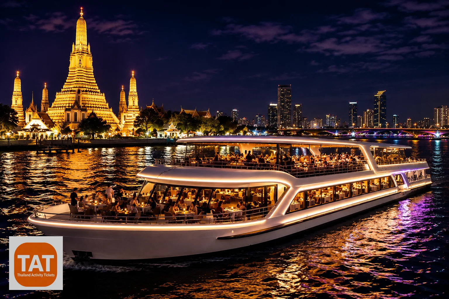
Alangka Dinner Cruise Bangkok Tickets
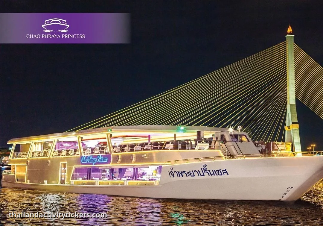
Chao Phraya Princess Dinner Cruise Bangkok Tickets
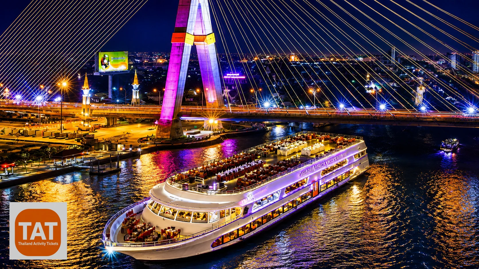
Chao Phraya White Orchid Dinner Cruise Tickets
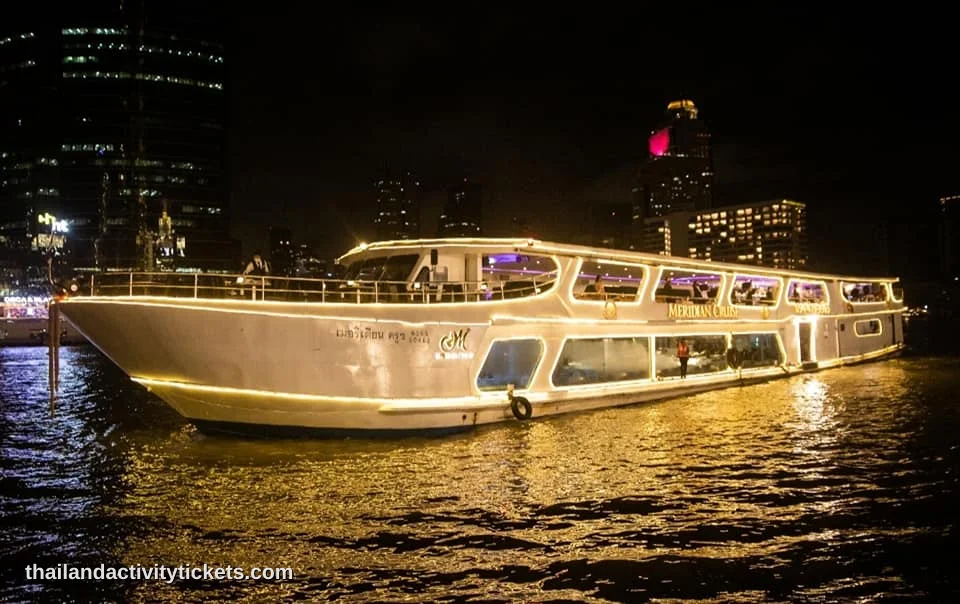
Meridian Dinner Cruise Bangkok from Iconsiam
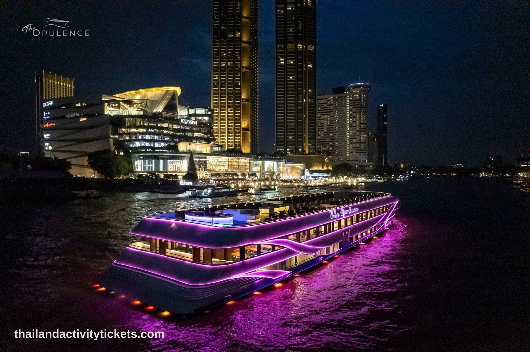
The Opulence Luxury Cruise: Bangkok’s Most Elite 3-Deck Dining Journey
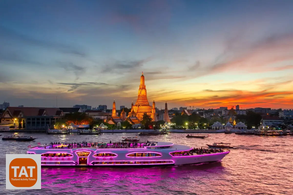
Wonderful Pearl Dinner Cruise Bangkok Tickets – River City Pier
Explore Destinations
Frequently Asked Questions
It forms at the confluence of the Ping, Wang, Yom, and Nan rivers near Nakhon Sawan, then flows roughly 372 kilometers south through central Thailand before emptying into the Gulf of Thailand.